Rain Turns to Snow This Week Across Bear Lake and Evanston
One more mild day Monday, then rain Tuesday turns to snow Tuesday night, with more snow Thursday into Friday morning, per the National Weather Service.

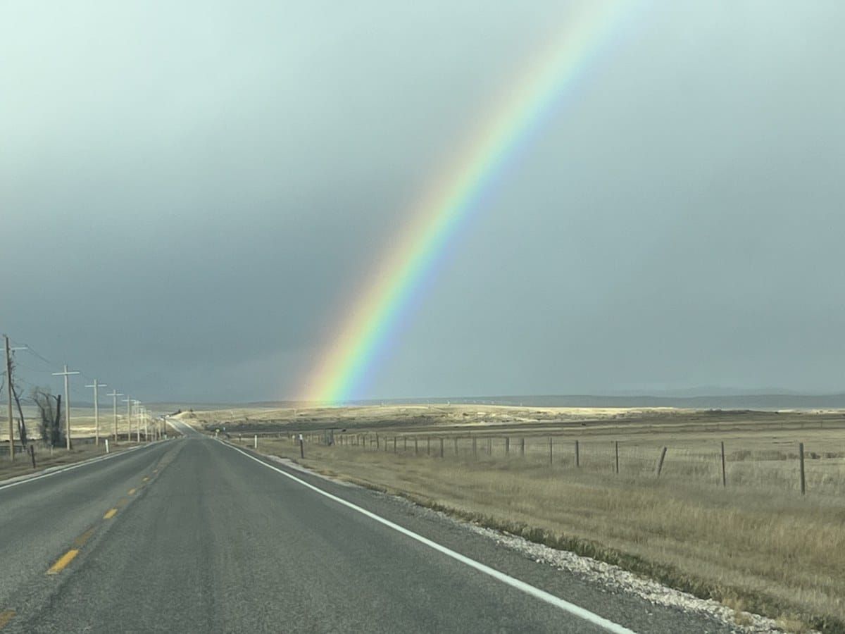
Enjoy Monday. It's the last mild day before a wetter, colder pattern moves across the Bear Lake corridor this week, according to Sunday afternoon forecasts from the National Weather Service.
Garden City: Monday is partly sunny with a high near 51. Rain is possible after 2 a.m. Tuesday, and Tuesday looks wet, with a 90% chance of rain and a high near 47. Rain turns to a rain-snow mix Tuesday night, with less than half an inch of snow possible as the low drops to 26. Wednesday clears out but stays cold, with a high near 39. Snow is likely again late Wednesday night and Thursday, and about an inch is possible Thursday night.
Higher ground: In the hills just west of Garden City (around 6,600 feet), the forecast is snowier: 1 to 2 inches Tuesday night, 1 to 3 inches Thursday, and 3 to 7 inches possible Thursday night. If you're driving US-89 over Logan Canyon, plan for winter roads late in the week.
Evanston: Monday is partly sunny with a high near 52. Rain arrives late Tuesday morning and turns to rain and snow Tuesday afternoon and night, with little or no accumulation. Wednesday is mostly sunny with a high near 39. Snow is possible Thursday, and less than an inch is possible Thursday night.
No weather alerts were posted for Garden City as of Sunday afternoon. Forecasts change, so check the NWS and the UDOT and WYDOT road reports before you head out.
Source: National Weather Service point forecasts for Garden City, Utah, and Evanston, Wyoming (Nov. 15, 2026).